File:Grapevine-centre-map.png
From TransitionSheffield
No higher resolution available.
Grapevine-centre-map.png (546 × 501 pixels, file size: 108 KB, MIME type: image/png)
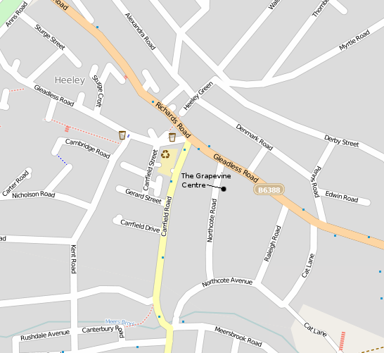
Screenshot of a Open Street Map page showing where the Grapevine_Centre is.
File history
Click on a date/time to view the file as it appeared at that time.
| Date/Time | Thumbnail | Dimensions | User | Comment | |
|---|---|---|---|---|---|
| current | 00:13, 12 December 2009 | | 546 × 501 (108 KB) | Chris (Talk | contribs) | Screenshot of a [http://www.openstreetmap.org/?lat=53.35872&lon=-1.46289&zoom=16&layers=B000FTF Open Street Map] page showing where the Grapevine_Centre is. Category:Heeley-Meersbrook |
- You cannot overwrite this file.
- Edit this file using an external application (See the setup instructions for more information)
File usage
The following page links to this file: